Wiinipaakw

Proposed Indigenous Protected Area and National Marine Conservation Area (IPA–NMCA)

A Cree-Led Vision for Marine Protection

The Wiinipaakw IPA–NMCA is a Cree-led initiative, co-developed by the Cree Nation Government and Parks Canada, to protect approximately 26,000 km² of offshore waters in the Eeyou Marine Region—a place of deep cultural, ecological, and historical importance to the Cree Nation.

Grounded in the recognition of Cree rights as outlined in the Eeyou Marine Region Land Claims Agreement (2010), the Wiinipaakw IPA–NMCA builds on decades of Cree leadership in safeguarding lands and waters vital for traditional activities, environmental stewardship, and future generations.

Key Elements of the Wiinipaakw IPA-NMCA:

  • Joint Designation: Indigenous Protected Area under Cree governance and National Marine Conservation Area under the Canada National Marine Conservation Areas Act and Chapter 6 of the Eeyou Marine Region Land Claims Agreement (EMRLCA).
  • Rights and Stewardship: Recognizes Cree governance, traditional knowledge, and stewardship rights.
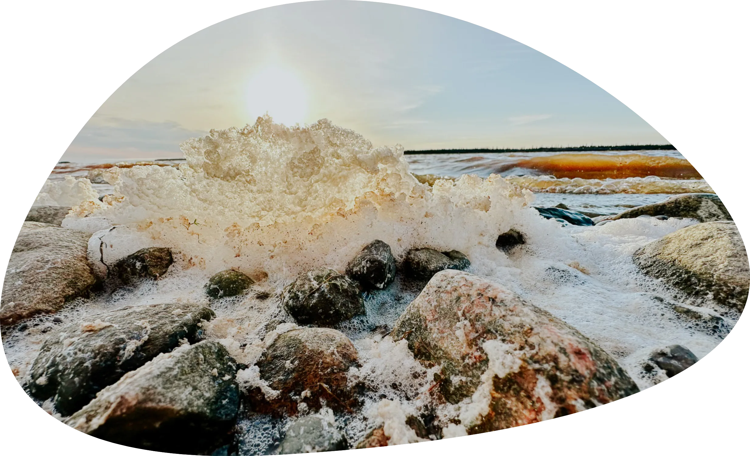
  • Biodiversity Conservation: Protects critical marine ecosystems, habitats, and species in Wiinipaakw (James Bay).
  • Cultural and Economic Well-being: Promotes Cree culture, well-being, and sustainable economic opportunities.
  • National Conservation Goals: Advances Canada’s NMCA System Plan by representing the James Bay Marine Region.
Read the final report

Wiinipaakw IPA–MCA map

Donwload the map

Waters of Life

The Eeyou Marine Region (EMR)

What is the EMR?

Spanning 61,270 km² along James Bay and southern Hudson Bay, the Eeyou Marine Region encompasses diverse ecosystems—coastal wetlands, estuaries, shallow bays—supporting fish, marine mammals, and migratory birds.

In the northern portion of the Eeyou Marine Region, the Cree of Eeyou Istchee and Nunavik Inuit share overlapping rights and collaborate on marine planning, reflecting shared stewardship.

Cree Connections to Wiinipaakw (Eeyou Marine Region)

The five coastal Cree communities, Whapmagoostui, Chisasibi, Wemindji, Eastmain, Waskaganish, have long relied on Wiinipaakw for sustenance and cultural continuity.

Inland communities such as Mistissini, Oujé-Bougoumou, Nemaska, and Waswanipi also share strong ties to the coast. Historically, Eeyou/Eenou would travel by canoe along river systems to reach trading posts and coastal camps. These shoreline and offshore areas were, and continue to be, important gathering places for hunting, fishing, trading, and cultural exchange.

Today, the Eeyou Marine Region remains vital to the Cree way of life. It supports traditional practices while contributing to the local economy through fishing, ecotourism, and other sustainable land-based activities.

Eeyou Istchee

Donwload the map

Eeyou Marine Region

Donwload the map

History of Marine Conservation

Wemindji’s 2009 Tawich Marine Conservation Area proposal served as a catalyst for marine conservation in Eeyou Istchee. This proposal led to interest and discussions with the federal government about marine conservation and laid the foundation for the Cree Nation Government’s 2019 Memorandum of Understanding with Parks Canada, which launched the Feasibility Assessment for a National Marine Conservation Area in the Eeyou Marine Region.

More Information about the Eeyou Marine Region

  • Eeyou Marine Region Planning Commission
  • Eeyou Marine Region Wildlife Board
  • Eeyou Marine Region Impact Review Board

NMCA Feasibility
Assessment Process

Want to learn more?

Go to Resources

Dive Deeper

Loader image

National Marine
Conservation Area (NMCA)

A federally protected marine area conserving ecosystems and supporting sustainable resource use.

Key features:

  • Prohibits ocean dumping, undersea mining, oil and gas development
  • Manages commercial fishing and shipping under ecosystem conservation goals
  • Respects Indigenous rights and traditional activities
  • Designed for lasting benefits to Indigenous communities and future generations

Indigenous Protected Area (IPA/IPCA)

An Indigenous protected area (IPA) is where Indigenous Nations lead conservation efforts and management based on their laws, governance, and knowledge systems. Also called Indigenous Protected and Conserved Area (IPCA). The establishment of an IPA/IPCA often involves collaboration between Indigenous Nations and other governments (federal, provincial or regional).

In Wiinipaakw, the IPA designation highlights that the protection measures are determined by the Cree First Nations and the Cree Nation Government.

Key Agreements

Agreement Relating to the Cree/Inuit Offshore Overlapping Interests Area (2003)
Supports collaborative marine planning and management between the Cree Nation and the Nunavik Inuit in the region from the La Grande River to the Nastapoka River, where their interests overlap.

Eeyou Marine Region Land Claims Agreement (EMRLCA) (2010)
Recognizes Cree rights in the offshore marine region and includes provisions for the creation of marine protected areas under federal jurisdiction.

Memorandum of Understanding (MOU) – NMCA Feasibility Assessment (2019)
A formal, non-binding agreement between the Cree Nation Government and Parks Canada that establishes a framework for collaboration on a National Marine Conservation Area feasibility assessment in the Eeyou Marine Region.

Protected Areas and Impact Benefit Agreement (PAIBA) (In development)
A formal agreement between the Crees of Eeyou Istchee and the Government of Canada found in the EMRCLA. It outlines how the Cree Nation will be involved in and benefit from the Wiinipaakw National Marine Conservation Area.

You see, when we make plans to care for the land, we think in different ways about time.